
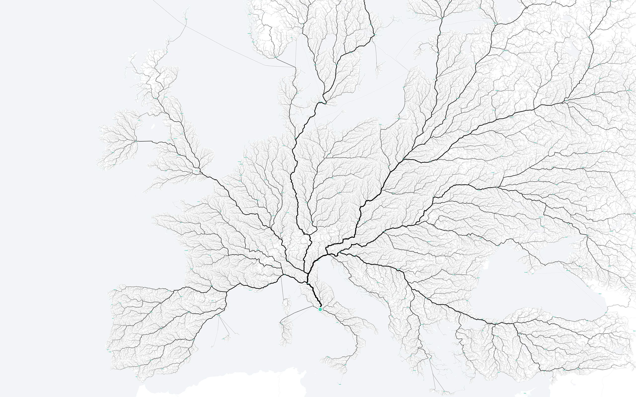
“Now that we had our 486,713 starting points we needed to find out how we could reach Rome. For this we created an algorithm that calculated one route for every trip. The more often a specific single street segment was used, the stronger it is displayed on the map. The maps as an outcome of this project are somewhere between information visualization and data art, unveiling mobility on a very large scale.” (source)

